Nogales Beach
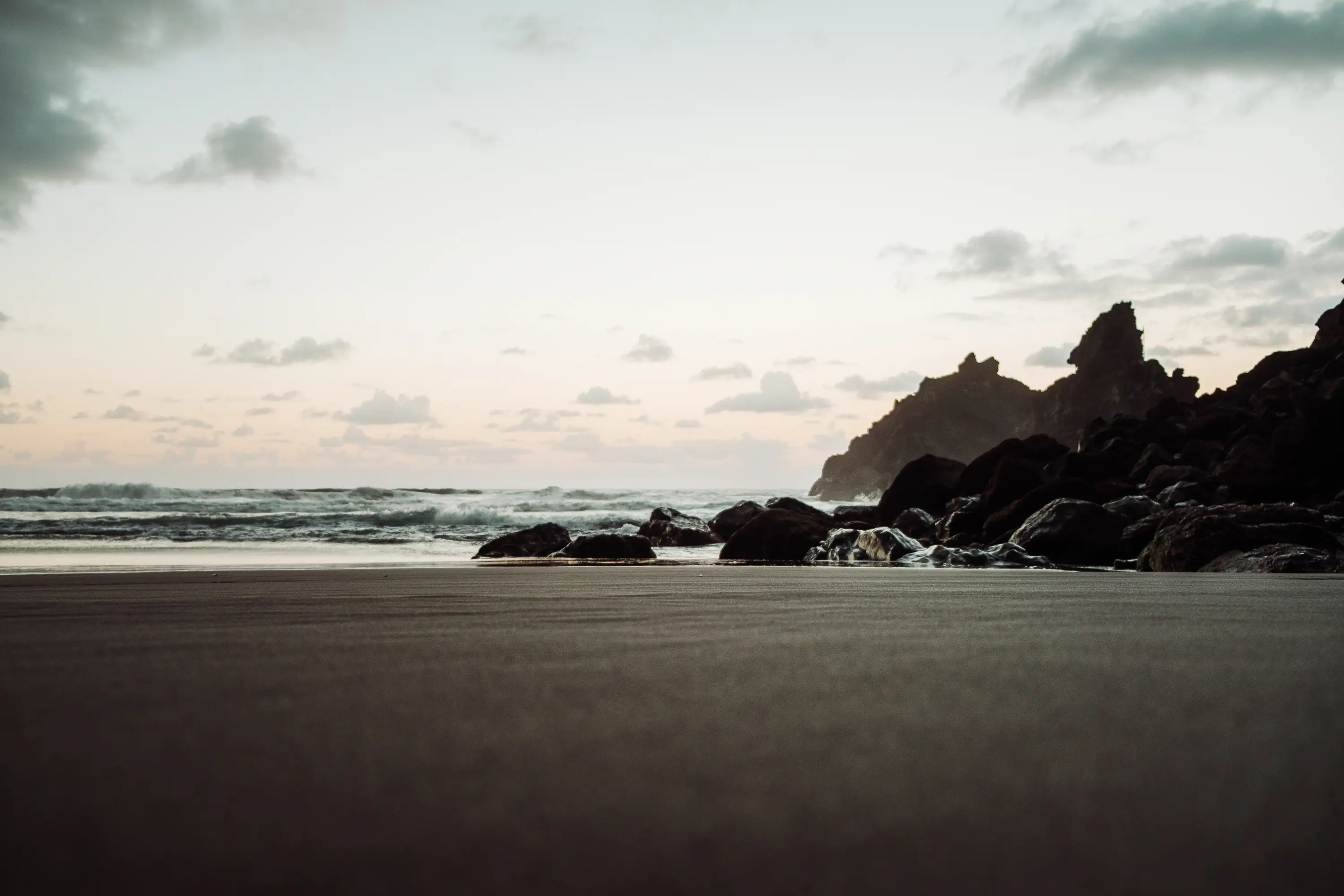
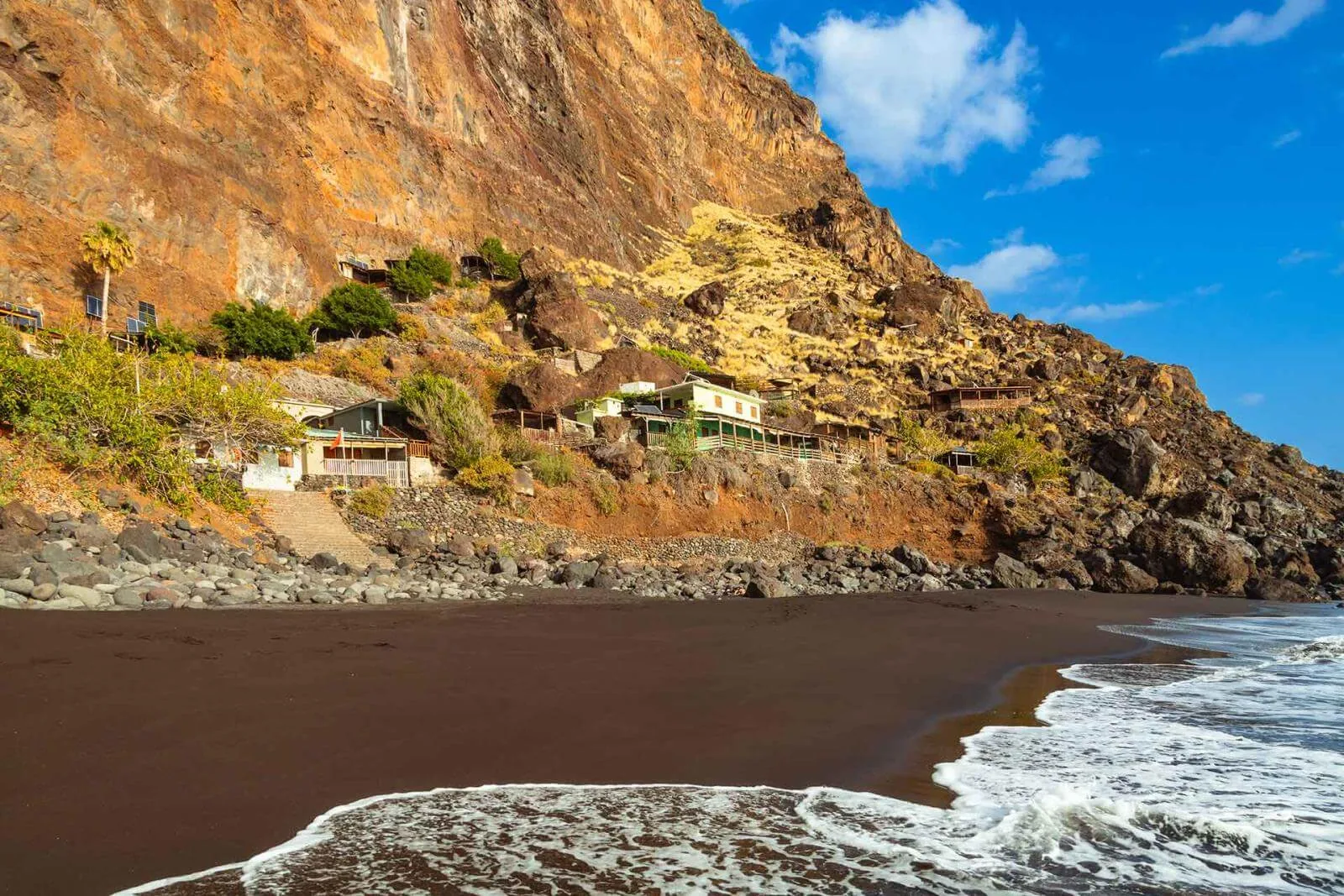
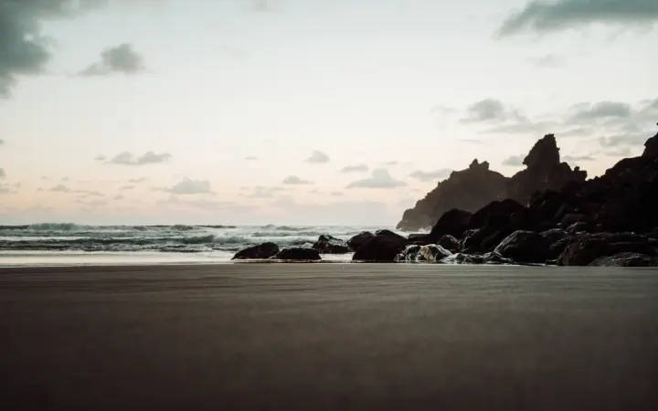
A wild beach in Puntallana, with 450 metres of dark volcanic sand below a large cliff and northern vegetation. From the car park, a path of around 500 metres leads to the shore; waves and currents demand great care.
Casa Rosabel is in Tijarafe on the quiet west side of La Palma. Use this guide to plan beaches, viewpoints, volcanic landscapes and hiking areas that fit naturally into a stay at the holiday home.
Click the markers to discover points of interest, see images, and learn more.
Choose a place to view its photographs.
A wild beach in Puntallana, with 450 metres of dark volcanic sand below a large cliff and northern vegetation. From the car park, a path of around 500 metres leads to the shore; waves and currents demand great care.
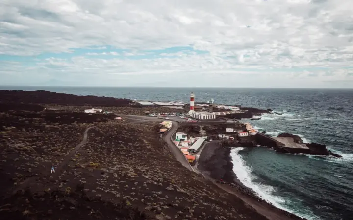
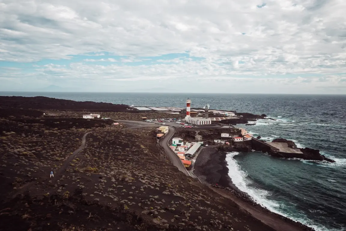
La Palma’s southern tip brings together Fuencaliente’s two lighthouses, the salt pans and the black volcanic landscape of San Antonio and Teneguía. The old lighthouse houses the Marine Reserve Interpretation Centre, and this is where the Volcano Route ends.
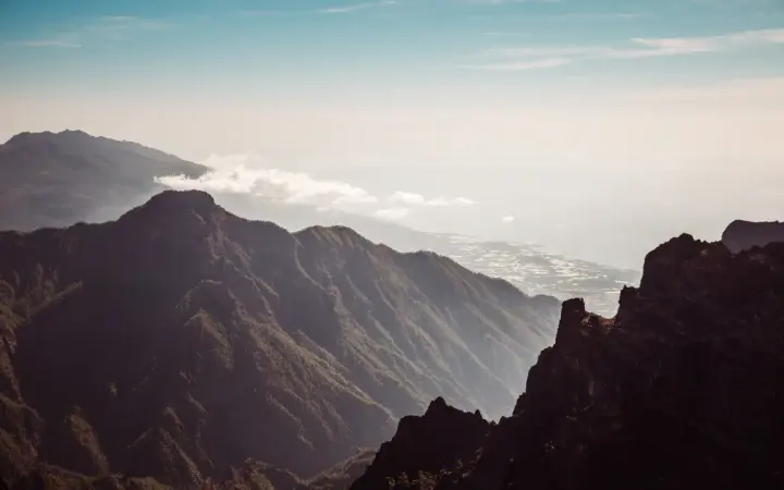
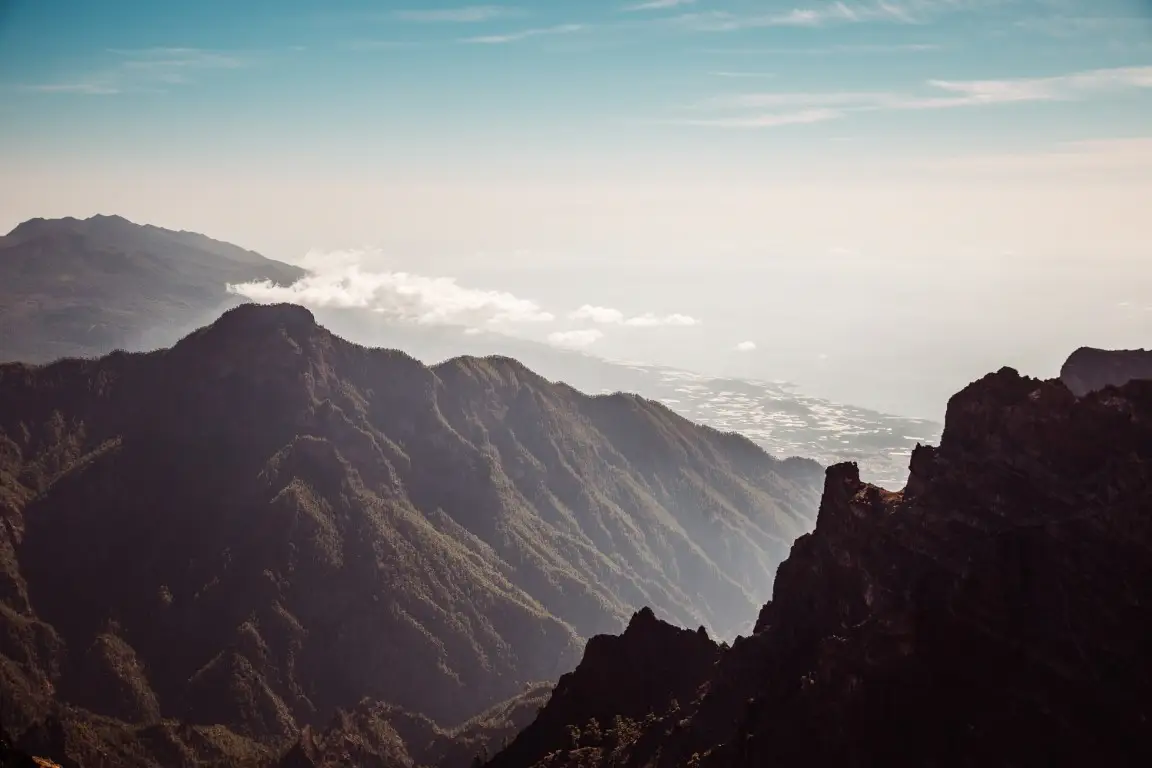
At 2,426 metres, this is La Palma’s highest point and one of the best balconies over the Taburiente Caldera and the sea of clouds. The observatory houses the Gran Telescopio Canarias (GTC): it can be visited by day with a Starlight guide and advance booking; the exact facility is confirmed when booking. Night visits are not available.
Find a Starlight guide to visit the GTC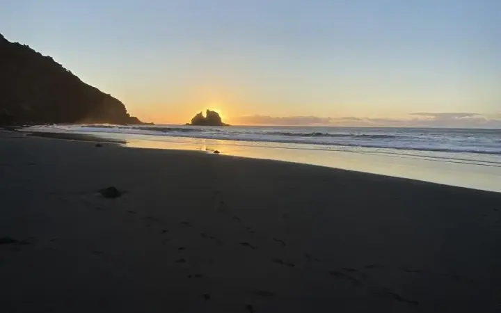
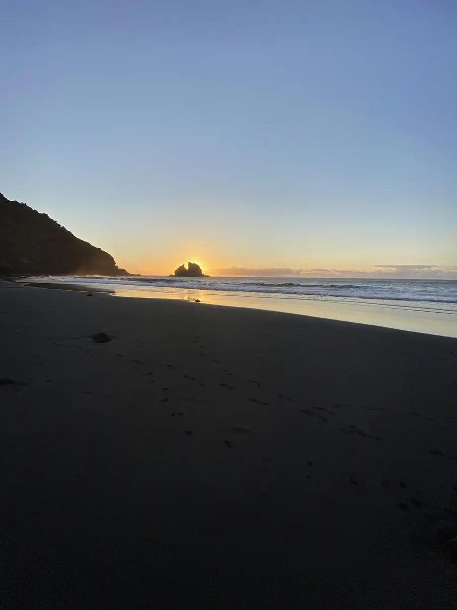
A small natural beach in Garafía, set between cliffs and accessible only on foot by a steep path or by sea. Black sand usually appears in summer and the cove is stonier for the rest of the year; avoid swimming with swell, currents or rough seas.
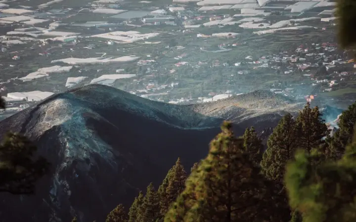
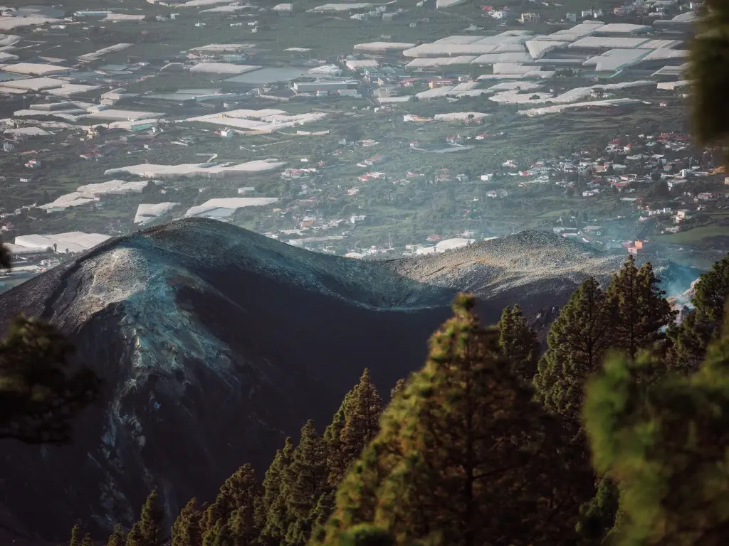
Llano de las Brujas, also known as the Llano del Jable viewpoint, combines black lapilli, Canarian pine and views over the Aridane Valley. Tajogaite can be seen independently from the designated viewpoints; to get close to the volcano and enter the restricted area, book a paid excursion with a specialist company and authorised guide.
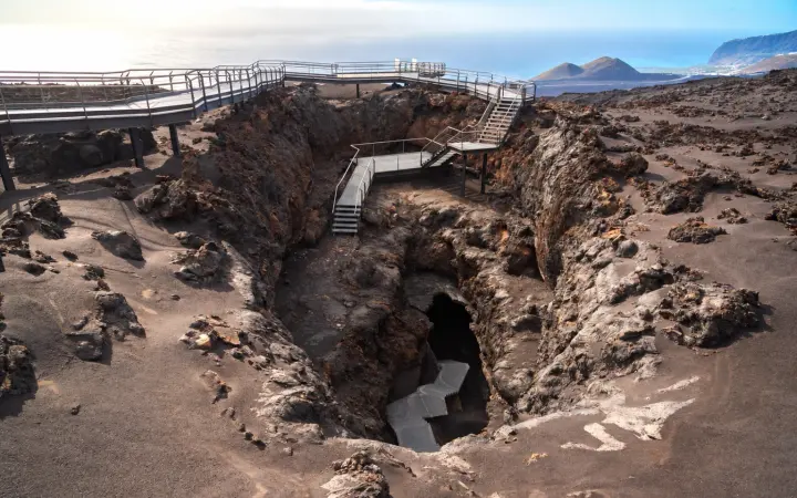
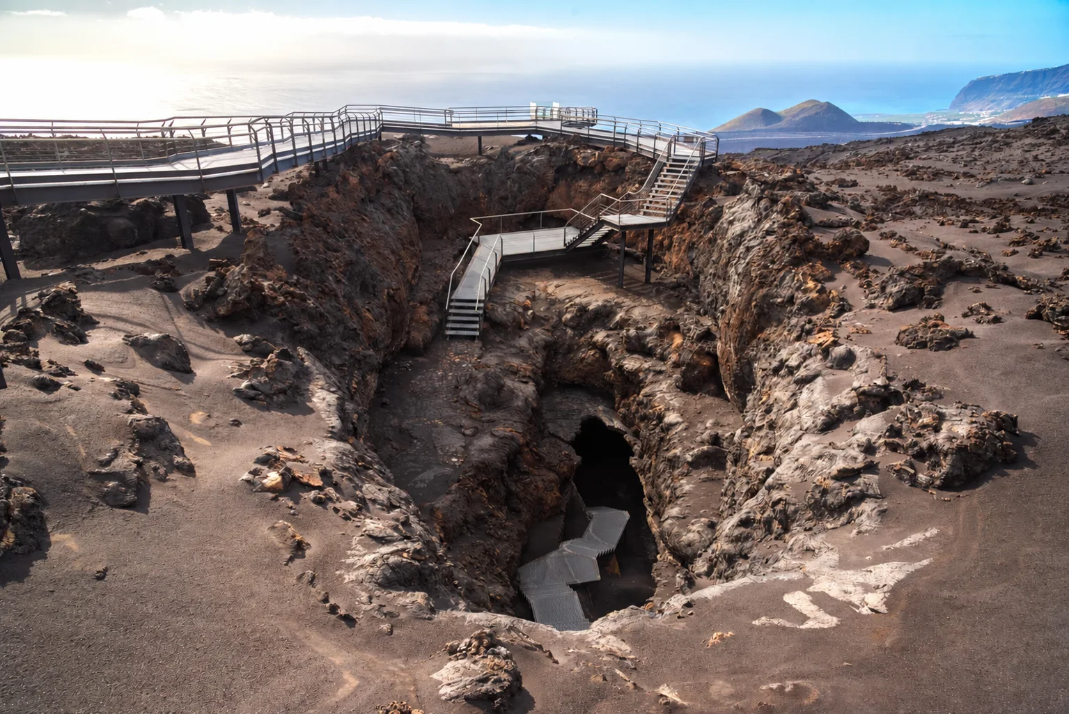
A lava tunnel formed by the 1949 San Juan volcano eruption in Las Manchas. The visit combines walkways over the lava field with the cave interior; entry to the tube is only with an authorised guide and a prior booking.
Book a guided visit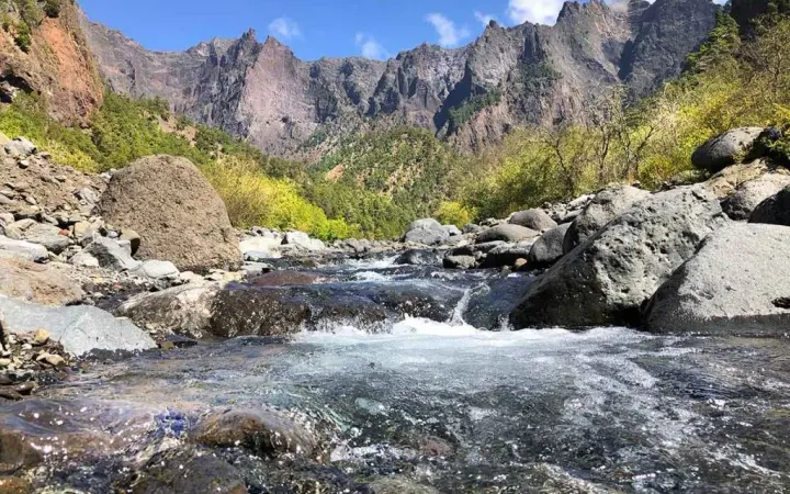
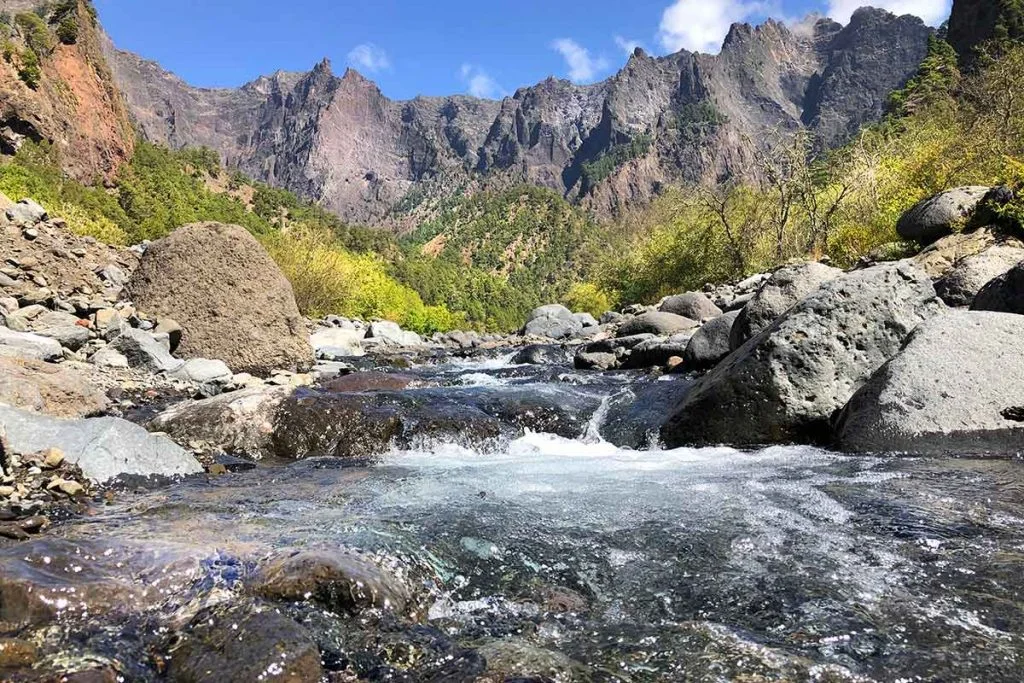
A vast erosion basin in the centre of La Palma, surrounded by Canarian pine forest, ravines and watercourses. La Cumbrecita provides an accessible first view inside; to arrive by car between 8:30 and 16:00, reserve a parking space.
Reserve a parking space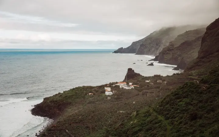
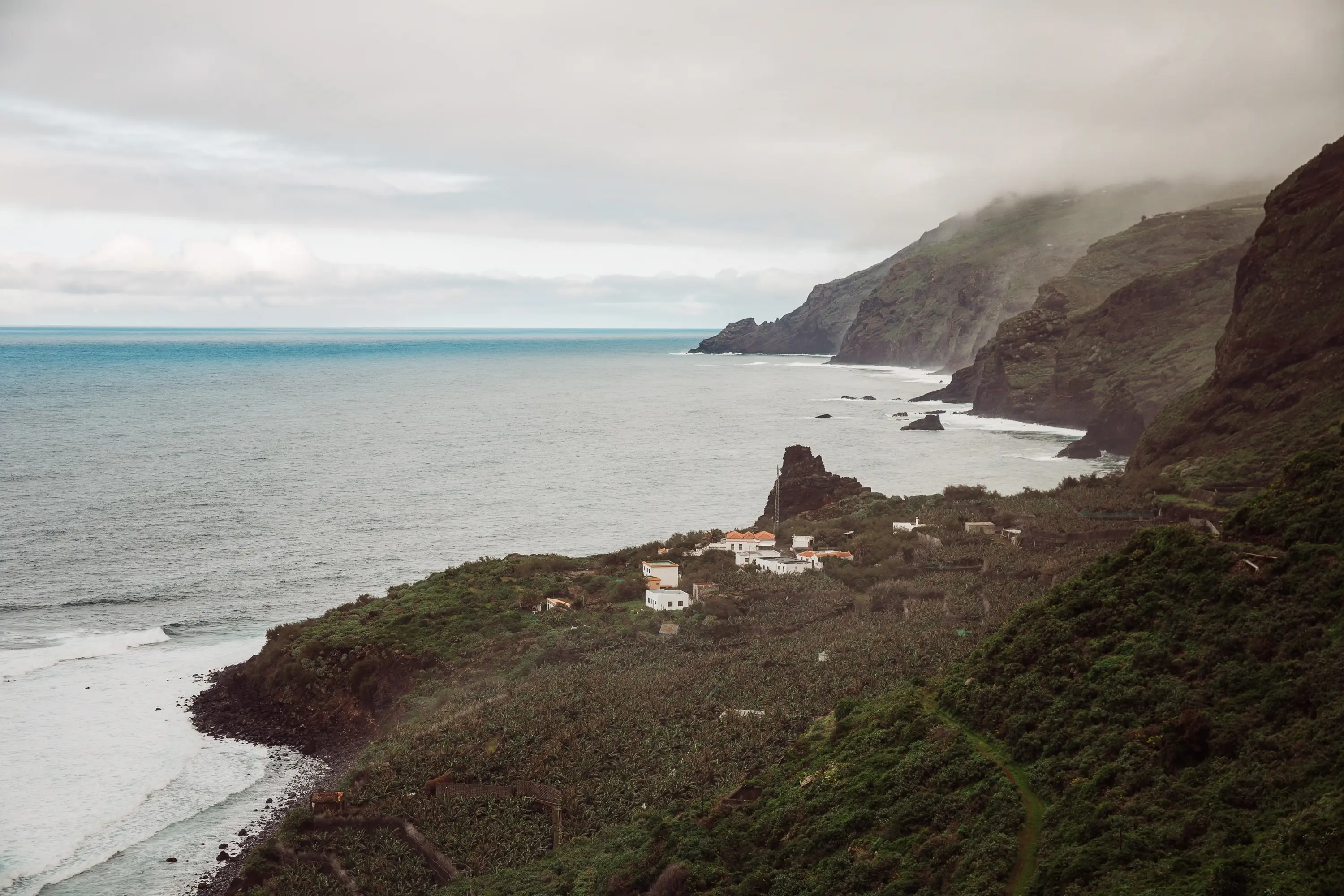
A secluded shelf below Garafía’s cliffs, with farmland, remains of its former landing place and a narrow beach of pebbles, rock and sand. It is reached by the track down from Franceses; there are no services, so check sea conditions before going.
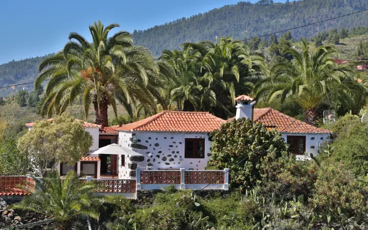
Browse a combined gallery with photos from Casa Rosabel, The Apartment, Casa Aram and Casa Arash to compare our stays on La Palma.
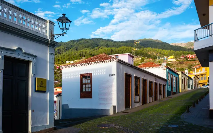
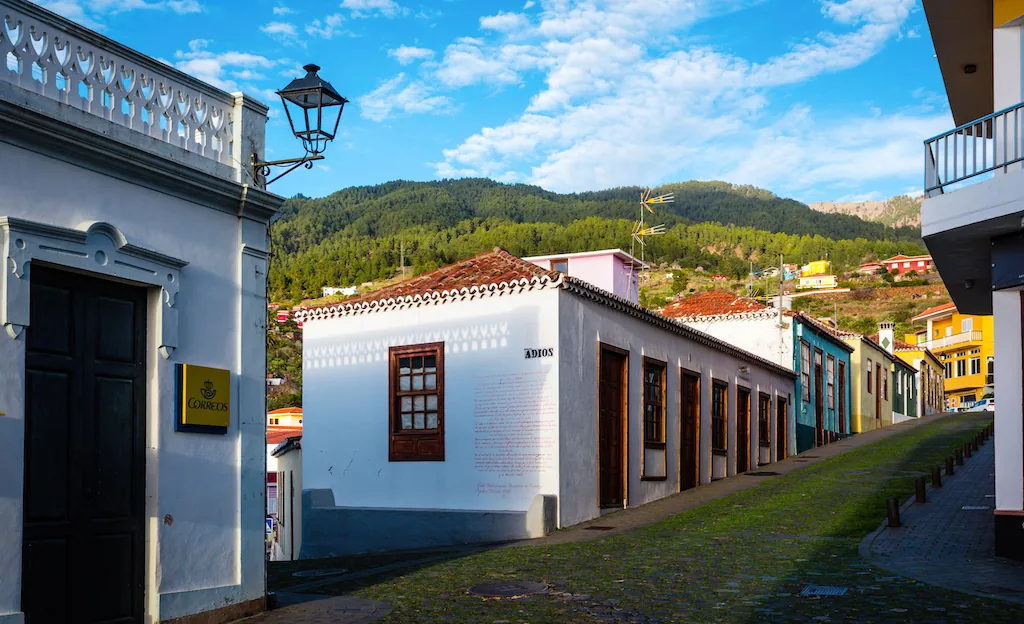
Tijarafe’s old centre brings together the Church of Nuestra Señora de Candelaria, Calle del Adiós and a landscape of terraces and ravines. It is a good first stop for understanding the municipality before continuing to viewpoints or the coast.
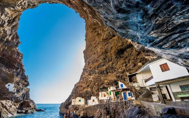
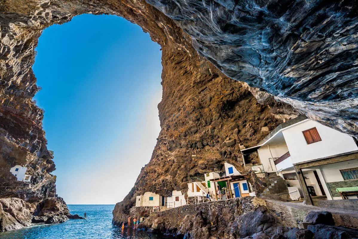
A small fishing hamlet in Tijarafe, with white houses sheltered by a natural cave around 50 metres high above the Atlantic. The access road is narrow and steep; it can also be reached on foot via the PR LP 12.2 trail.
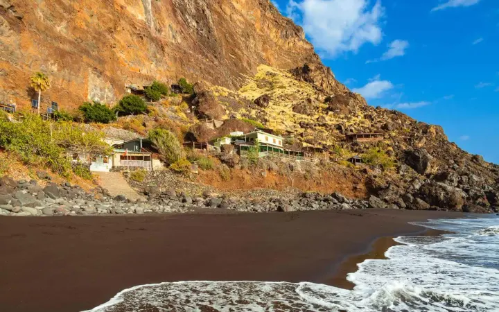
A cove beneath Tijarafe’s cliffs, reached from Agutavar with a 15 to 20 minute walk from the end of the track. Its black sand can diminish or disappear after winter storms, and swimming always depends on Atlantic conditions.
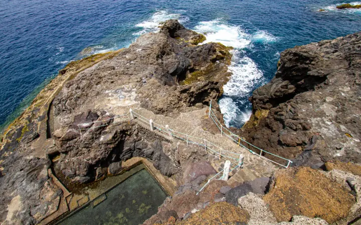
Two natural pools and bathing areas set between the cliffs on Puntagorda’s coast. This is a quiet spot with few services, so bring what you need and respect closures or warnings when the sea changes.
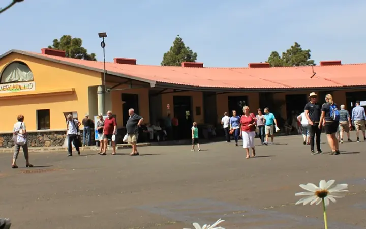
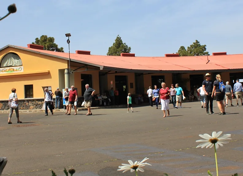
A forest of pines, fayas and heather with picnic areas, fire pits, water and a self-guided trail, beside Puntagorda’s producers’ market. Combine a stop beneath the pines with local fruit, vegetables, wine and crafts; check opening hours first.
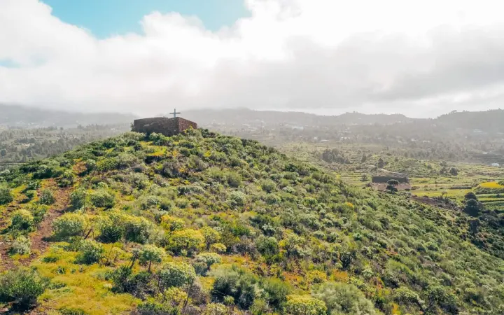
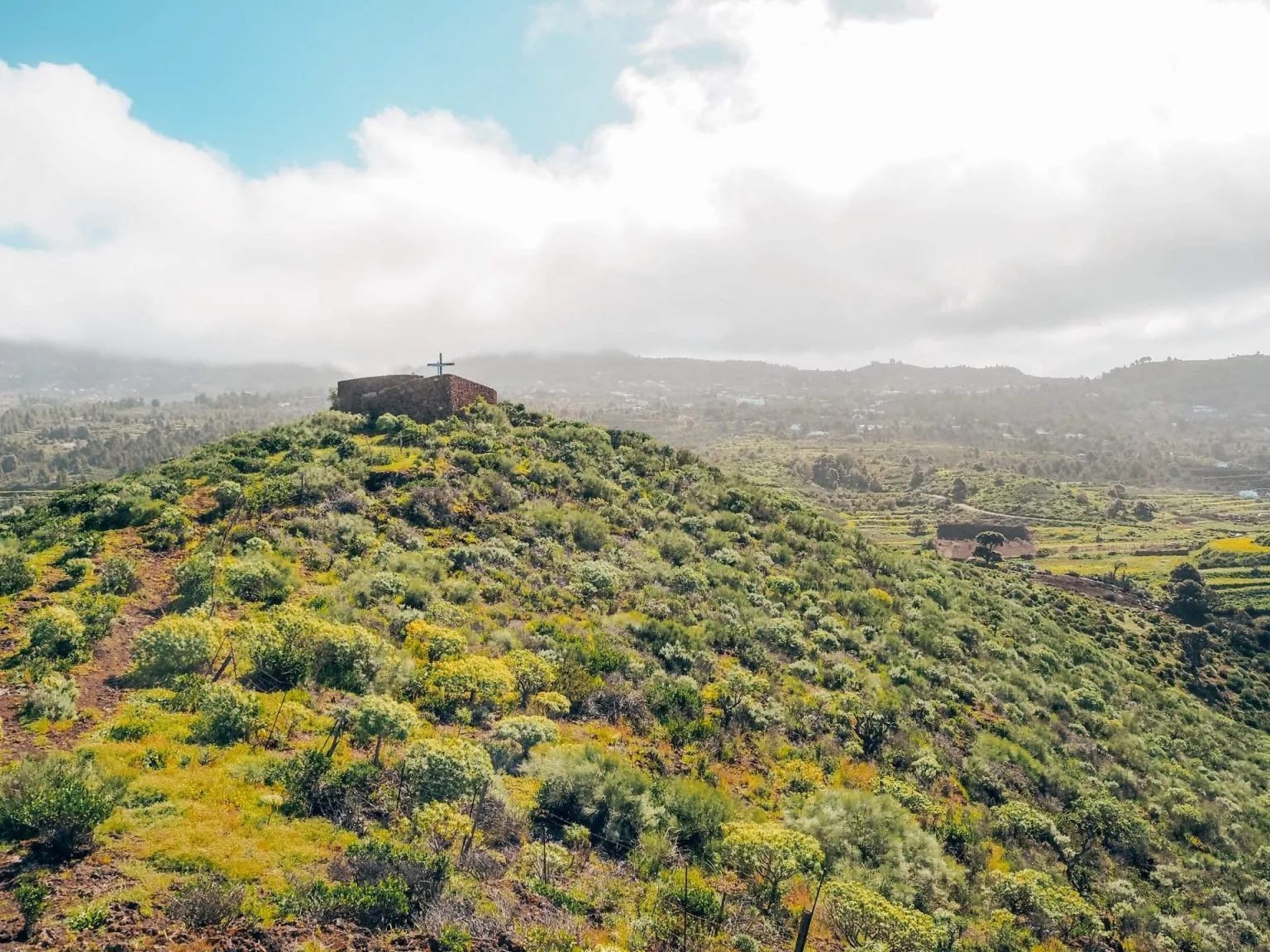
A viewpoint in El Pinar, Puntagorda, with a short walk up to the Matos Cross. From the summit, clear days open views over farmland, Garafía and the cliffs of the west coast.
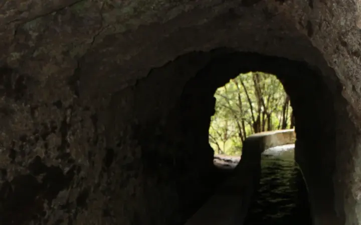
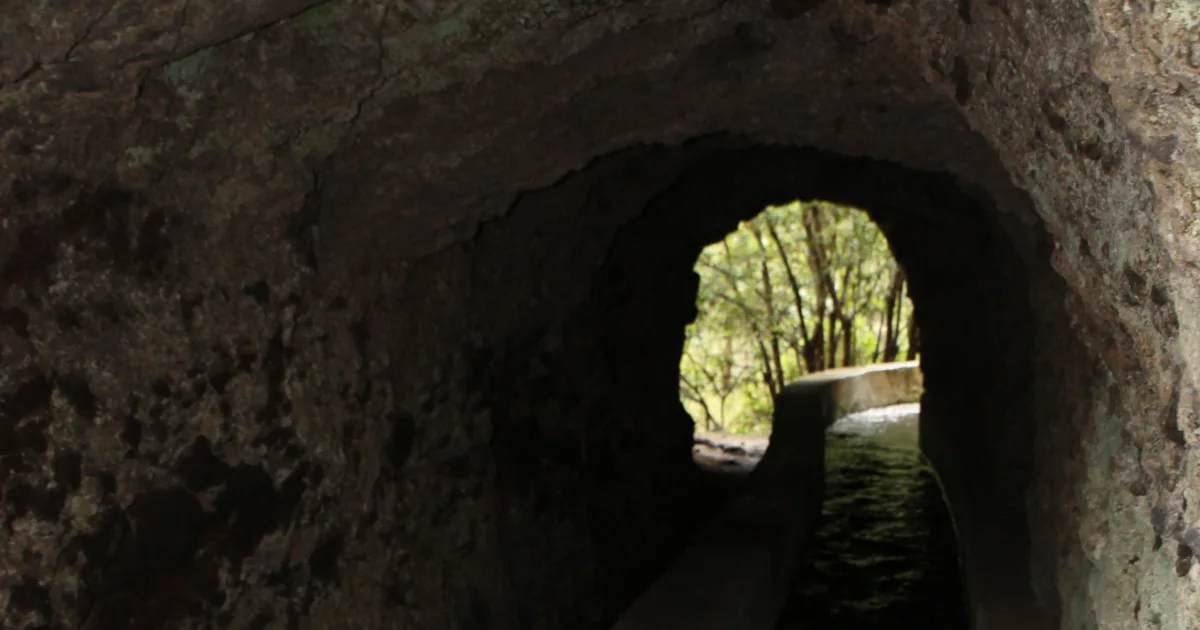
A trail in San Andrés y Sauces that follows a water channel to the springs and crosses 13 rock-cut tunnels. The shorter route from Casa del Monte is around 7 km; take a torch and waterproof clothing, and check the route status before you go.
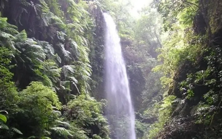
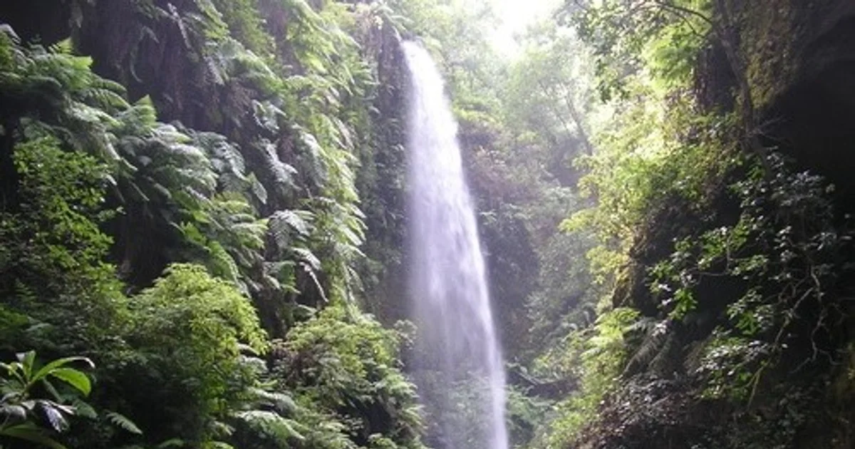
One of La Palma’s finest remnants of laurel forest, declared a UNESCO Biosphere Reserve in 1983. Near the visitor centre, a 2.5 km forest trail and a shorter route to the waterfall are available when open.
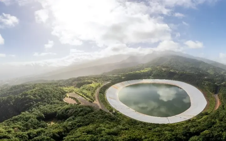
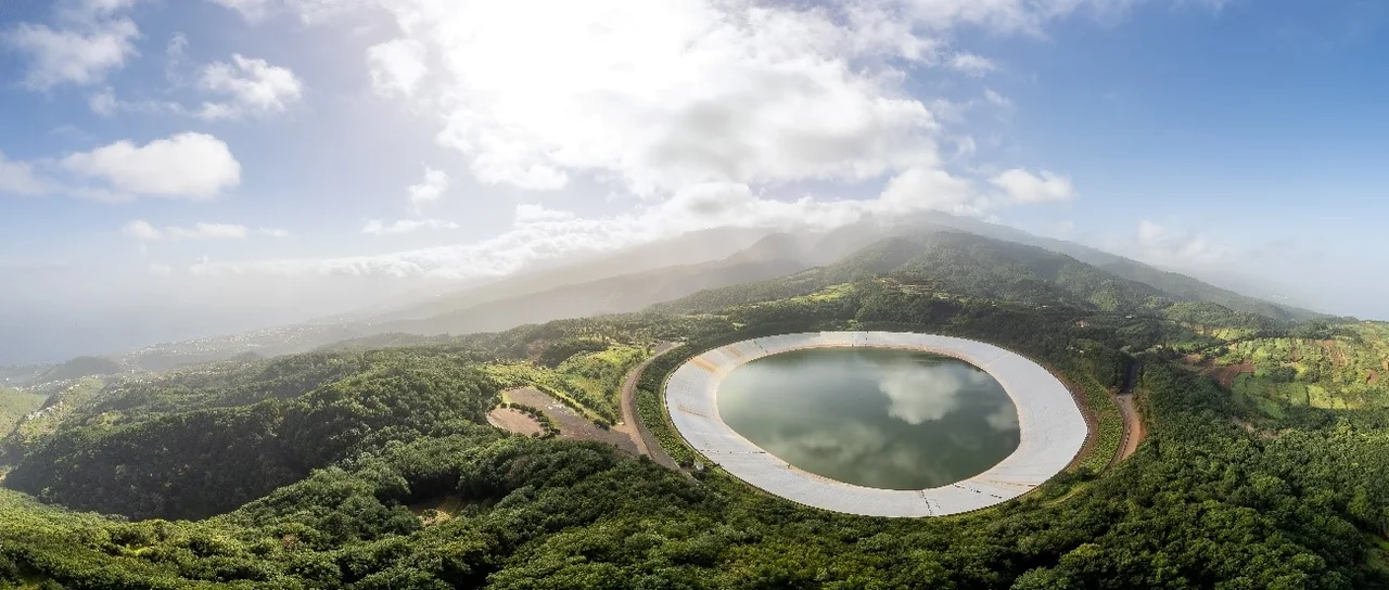
A Barlovento recreation area at around 650 metres above sea level, between evergreen woodland and reservoir. It has a campsite, tables, fire pits and a restaurant: a comfortable stop to eat, rest or continue on northern trails.
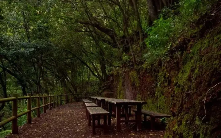
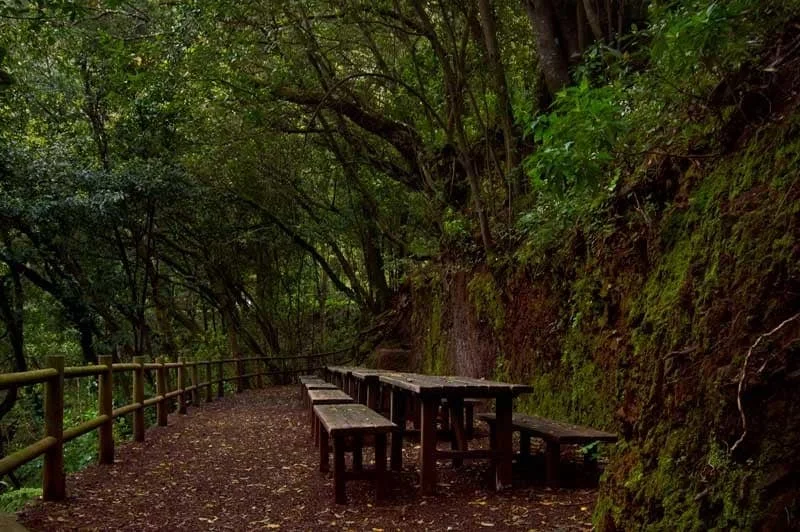
A spring on the old road between Barlovento and Garafía, surrounded by laurel forest, moss and lush vegetation. Its small recreation area with tables and fire pits makes a peaceful pause on the Las Mimbreras route.
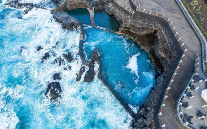
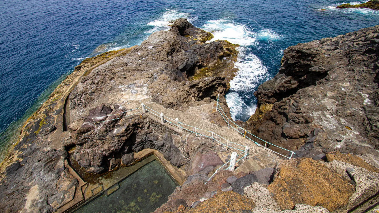
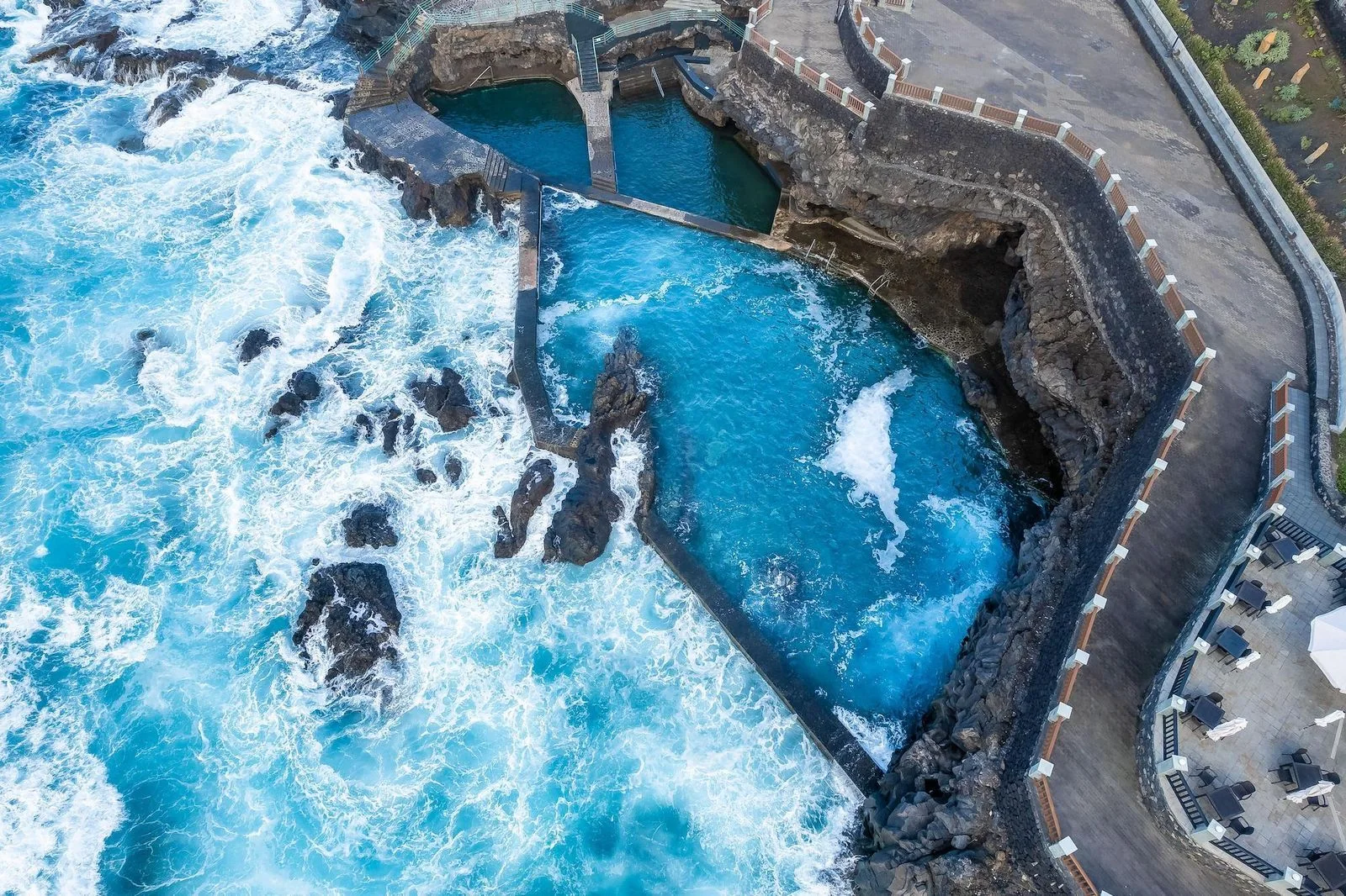
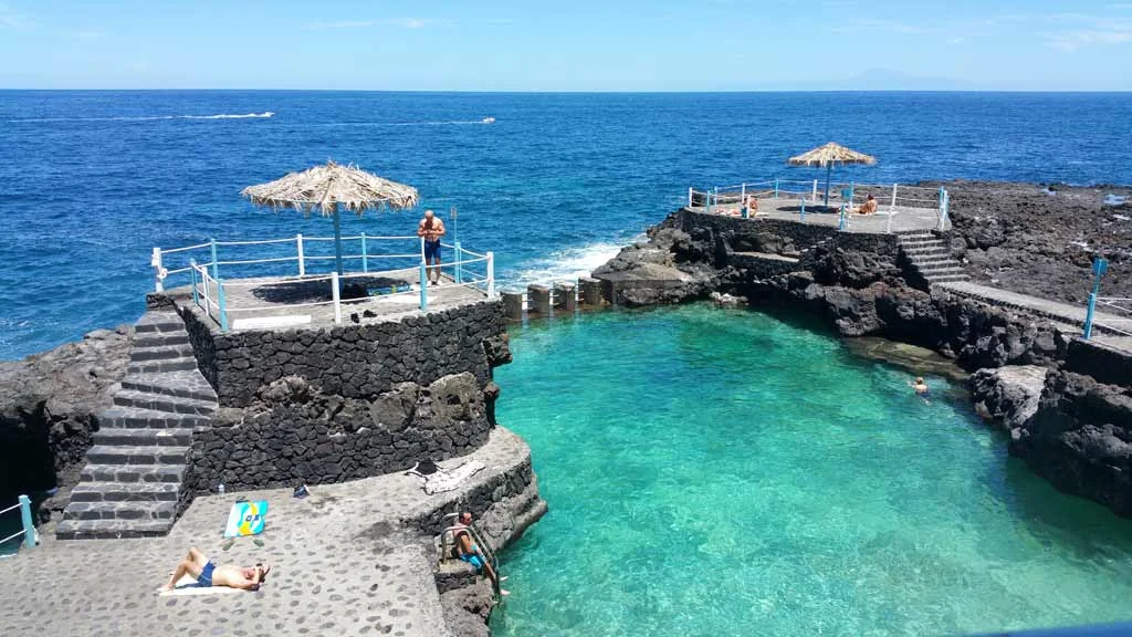
Three natural saltwater pools on the coast of Barlovento, with a children’s area, showers, sunbathing space and picnic area. The old pools used for flax and salt were adapted for bathing from 1976; always check sea notices.
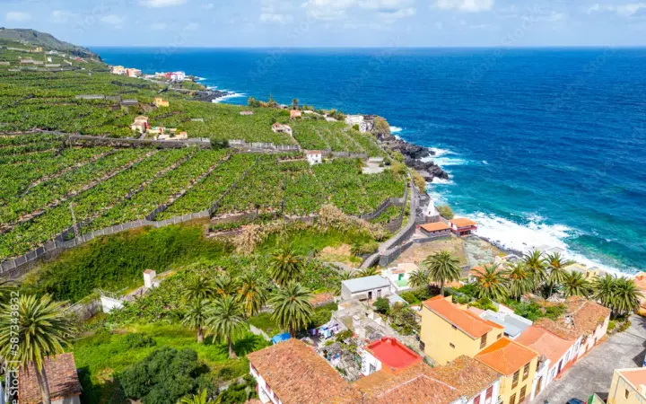
A municipality of water and crops, shaped by the Marcos and Cordero springs and its humid fertile valleys. Sugar cane was vital in the 15th and 16th centuries, while yams, bananas and fruit trees still define the landscape.
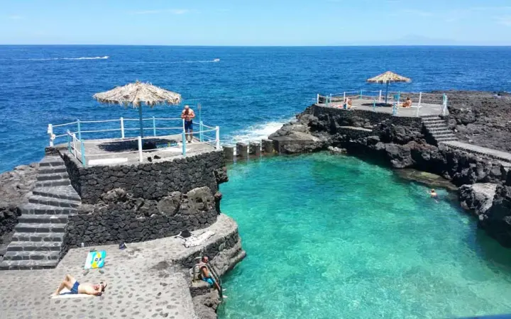
A former landing place in San Andrés y Sauces, with a black-sand beach and Charco Azul’s seawater pools nearby. The harbour shipped local agricultural produce from the 16th and 17th centuries; check sea conditions before bathing.